...
Sections
| Table of Contents | ||||
|---|---|---|---|---|
|
Settings - Configuring the WISPRGroundControl Application


General Tab
The primary menu to configure settings in the application. These are used to specify settings under the following sections: Wispr WISPR Flight Settings, Units (of measurement), Fly View, Plan View, Auto Connect, RTK GPS, Video Settings, NTRIP/RTCM.
...
...
WISPR Flight Settings
Payload - Allows user to select the payload attached to the drone. Selecting a payload is not necessary to fly the drone- although when a payload is selected this automatically sets the camera type/LiDAR when planning a mission and adjusts flight characteristics optimized for the selected payload.
Display Compass - Allows user to display the compass on the fly screen when checked.
Enable proximity sensor - Allows user to enable/disable collision avoidance. Use extreme caution when disabling this setting.
Proximity sensor distance (m) -Determines the range that the proximity sensor will detect objects within (in meters). This is adjusted via the drop down menu.
Continue camera trigger distance during RTL - Camera trigger distance will remain the same and take pictures at the same rate during an RTL.
Manual Flight Speed (m/s) - Determines how fast the drone travels when operated with the controller’s joysticks. This is measured in meters per second.
Mission Speed (m/s) - Determines how fast the drone travels when conducting a mission. This is also measured in meters pers second.
RTL Altitude (m) - Height (in meters) the drone will climb before returning to launch.
Enable terrain follow during RTL and Land - When selected, drone uses terrain data while drone is performing an RTL or Land sequence.
Center gimbal during RTL of mission - When selected, Gimbal is centered to 0 degrees while drone is performing an RTL sequence after completing a mission.
Enable GCS Failsafe - If this box is checked, any disconnection between the Smart Controller and the Drone will cause the Drone to RTL as soon as a disconnection is detected.
Maintain previous mission data - When selected, data from the previous mission will continue to be present when planning a new mission.
...
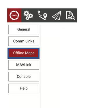
Offline Maps allows you to cache map tiles for use when you are not connected to the Internet. You can create multiple offline sets, each for a different location.

Download Map Tiles for use without internet connection.
...