Sections

The primary menu to configure settings in the application. These are used to specify settings under the following sections: WISPR Flight Settings, Units (of measurement), Fly View, Plan View, Auto Connect, RTK GPS, Video Settings, NTRIP/RTCM.

Payload - Allows user to select the payload attached to the drone. Selecting a payload is not necessary to fly the drone- although when a payload is selected this automatically sets the camera type/LiDAR when planning a mission and adjusts flight characteristics optimized for the selected payload.
Display Compass - Allows user to display the compass on the fly screen when checked.
Enable proximity sensor - Allows user to enable/disable collision avoidance. Use extreme caution when disabling this setting.
Proximity sensor distance (m) - Determines the range that the proximity sensor will detect objects within (in meters). This is adjusted via the drop down menu.
Continue camera trigger distance during RTL - Camera trigger distance will remain the same and take pictures at the same rate during an RTL.
Manual Flight Speed (m/s) - Determines how fast the drone travels when operated with the controller’s joysticks. This is measured in meters per second.
Mission Speed (m/s) - Determines how fast the drone travels when conducting a mission. This is also measured in meters pers second.
RTL Altitude (m) - Height (in meters) the drone will climb before returning to launch.
Enable terrain follow during RTL and Land - When selected, drone uses terrain data while drone is performing an RTL or Land sequence.
Center gimbal during RTL of mission - When selected, Gimbal is centered to 0 degrees while drone is performing an RTL sequence after completing a mission.
Enable GCS Failsafe - If this box is checked, any disconnection between the Smart Controller and the Drone will cause the Drone to RTL as soon as a disconnection is detected.
Maintain previous mission data - When selected, data from the previous mission will continue to be present when planning a new mission.

Using the drop down menus, the user can adjust the desired units of measurement for the following categories to the options listed below.
Distance: Meters | Feet
Area: Square Meters | Square Feet | Square Kilometers | Hectares | Acres | Square Miles
Speed: Meters/second | Feet/second | Miles/hour | Kilometers/hour | Knots
Temperature: Celsius | Fahrenheit

This section defines a number of miscellaneous settings, allowing you to change:
Language, Color Schemes, Map providers, Map types, Stream GCS Position, UI Scaling.
You may also mute all audio output from the Smart Controller, check your Wi-Fi connection, Auto Load a mission, and Clear settings on a reboot of WGC

Allows you to change settings for pre-flight and in-flight
Use Preflight Checklist - Enable pre-flight checklist in Fly toolbar.
Keep Map Centered on Vehicle - Forces map to center on the currently selected vehicle.
Use Vertical Instrument Panel - Align instrument panel vertically rather than horizontally (default).
Show additional heading indicators on Compass - Adds additional indicators to the compass rose:
Lock Compass Nose-Up - Check to rotate the compass rose (default is to rotate the vehicle inside the compass indicator).
Guided Minimum Altitude - Minimum value for guided actions altitude slider.
Guided Maximum Altitude - Minimum value for guided actions altitude slider.
Go To Location Max Distance - The maximum distance that a Go To location can be set from the current vehicle location (in guided mode).

Shows user default altitude for Mission Start
Default Mission Altitude - The default altitude used for the Mission Start Panel. This can can be used for the first waypoit in a mission but we suggest to use the mission planner as the height for the mission itself.

This allows you to specify the RTK GPS "Survey-in" settings, to save and reuse the result of a Survey-In operation, or to directly enter any other known position for the base station.
For a faster RTK lock, the user may use the “Use Specified Base Position” selection. The user will enter in the Latitude and Longitude of the base station. This information can be found using Maps on a smartphone.

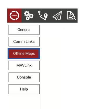
Offline Maps allows you to cache map tiles for use when you are not connected to the Internet. You can create multiple offline sets, each for a different location.

To create a new offline map set, click "Add new set". You will be taken to this page :

You may name your set as well as specify the zoom levels you want to save
Move the map to the position you want to save and then set the zoom levels and click Download to save the tile you have selected.
To change the map layout, click on the map selected and change the map you would like to choose from and that map layout will load.
Select or de-select Fetch elevation data
Once you have completed this, choose download to save the map, which will be available when you visit that area, and you will be able to view that map without Wi-Fi
Be sure to download these maps when you have an internet connection to view later when you do not.
In the tiles to the left you can see previews of the min and max zoom levels you have chosen.

The new maps and elevation are cached in your offline maps for use when you would like.
